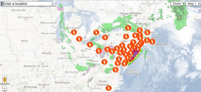
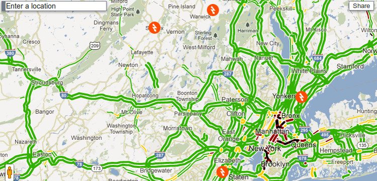
Hurricane Sandy has proven to be a force to be reckoned with as it has already claimed 41 lives in the Caribbean. And its already on collision on the Eastern coast of America with both the winter and tropical cyclone weather. Powers have gone on many of the households and water level have grown to record levels with the storm. Its vital that if you’re affected by the storm, you stay updated to the news and information on how the storm is progressing.
You can easily share and email these maps through the Maps top right options.
Google Crisis team have put up a Hurricane Sandy tracking crisis map so that you can view the progress of the Storm. The map features the location where the storm has hit and also information about traffic and Evacuation routes. You can filter the map with cloud imagery, traffic conditions, local alerts, Storm surge probabilit
http://google.org/crisismap/2012-sandy
View the Crisis Map from Below. For in-depth look and information please visit the above link.
Stay informed and Stay Safe Everyone.

